Saturday, January 31, 2015

Jeep Ride thru Mojave National Reserve

Saturday, January 31, 2015

This morning the sun started to peek through the clouds so Yuma and I decided to unhook the jeep and do a little sight seeing.   Looked online this morning and found we are camped just off Black Canyon Road.

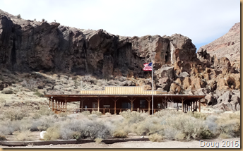
We drove north on Black Canyon Road about three miles and there was a Ranger Visitor Center, so we stopped in and talked to the ranger for awhile and got the layout of the land.  We also picked up a brochure and a map of the area.  The Hole in the Wall Campground is just a quarter mile further up the road and it is open to campers.

image

Asked where the nearest gas station was and the ranger told me I would need to drive 60 miles west to Baker, California on I-15.  Showed me how to get there on the map. 

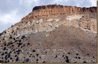
Yuma and I decided to go in the direction of the Kelso Depot Visitor Center which is about half way to Baker taking the back way.  This meant following Black Canyon Road for about 7 miles to Cedar Canyon Road also known as Mojave Road.  Took this for another 7 miles till it intersected with the Kelso Sima Road which is a blacktop.  Followed it south for 15 miles to the Visitor Center.  The entire drive was very scenic.  I am going to show photos of my travels, but may take several blogs to complete. 

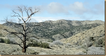
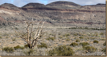
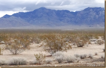
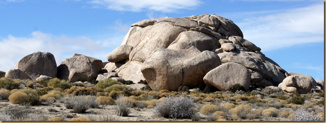
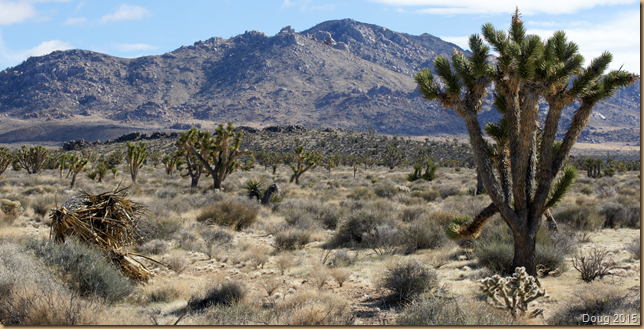
Here are photos as we headed the seven miles north on Black Canyon Road.

imageimageimageimageimage

Then we turn left onto Cedar Canyon Road, aka, Mojave Road.

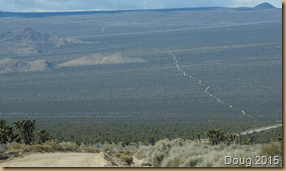
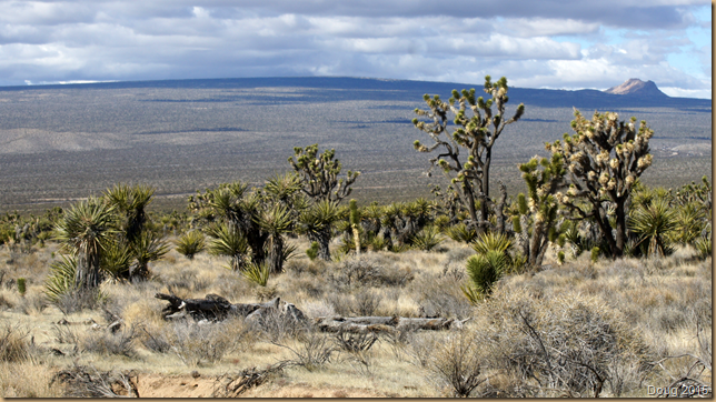
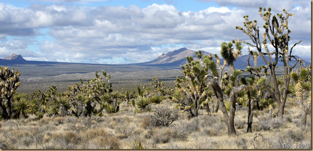
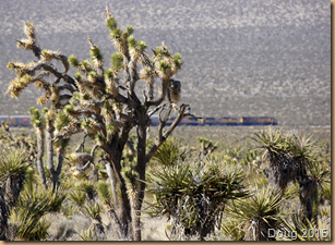
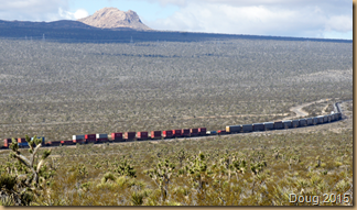
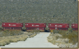
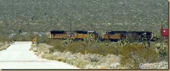
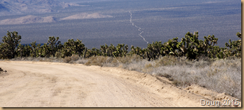
As we wound our way through the thousands of Joshua Trees you could see the Mojave Road stretch out across the desert ahead of us.  Luckily, we don’t drive the entire road.  We turn left at the railroad tracks.imageimage
imageimageimageimageimageimageimage

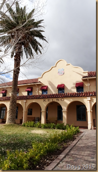
Finally made it to the the Kelso Depot Welcome Center.

image

Better stop for now.  I will cover the remaining part of my day in tomorrow’s blog.

See you later.
Friday, January 30, 2015

Rainy Day in the Mountains

bFriday, January 30, 2015

Last night we had rain.  Not a whole lot but quite damp out when Yuma and I went for our walk up the jeep road.  Luckily, it is very sandy and packed, so no problem with walking around.

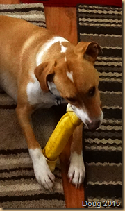
He was such a good boy on our walk, I broke out another chewy bone.  He loves them.

image

Continued sprinkling throughout the morning and early afternoon, but then the sun began to peek out just a little to the south.  Still cool with a little wind to help make it feel so.  It says that it is 62 in Needles but here in the mountains it is probably more like 52. 

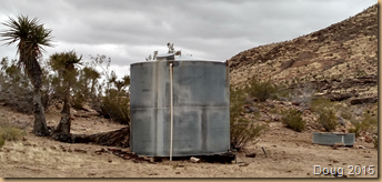
For our early afternoon walk, Yuma and I walked all the way to the end of the jeep road we are camped on.  It ended at a ravine about three quarters of a mile into the canyon north of us.  At the end we found a large metal water container and just next to it a large round water trough used for drinking by cattle.


imageimage

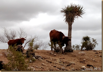
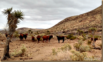
Sure enough, when I turned around to leave, I looked up and there were two bovines looking down at us.  Horns and all.  Wasn’t long before a bunch of young ones came over the hill, all heading for the water.

image

When Yuma spotted them the hair on his back stood on end and he watched them carefully, but didn’t bark.  However, the young calves became spooked and started to run back over the hill and Yuma wanted to chase them.  Thank goodness he was on his leash and couldn’t run after them.  Don’t know what would have happened and sure don’t want to find out.

image

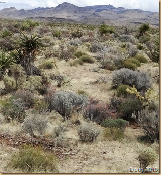
The ground here has a lot lighter texture to it than it does in Arizona.  It is a light brown sand and missing all the dark rock.  However, the mountains do have that dark brown look same as Arizona.

image

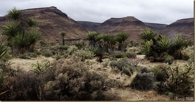
The brush is not made up of mesquite, but different types of cactus and brush I have never seen before.  Most of it is hard and bristly.  There lots of Cholla cactus here to bother Yuma, but they are not the jumping chollas thank goodness, so the barbs are not as prevalent.

imageimage

I haven’t even unhooked the jeep.  Wanting to wait for the sun to come out.  Need to conserve the gas in the jeep.  Since there are no gas stations at all around here, I need to use the tank I have to go to specific destinations.  Can’t waste it just wandering aimlessly down roads.  Better do some Internet research tonight before heading out tomorrow.

image

  See you later.

Thursday, January 29, 2015

Mojave National Preserve

Thursday, January 29, 2015

My plans were to travel to Twentynine Palms, California and enter the Joshua Tree National Park from there.  But as I was doing a little research on the Internet about the park, I found they do not allow dogs on the trails.  Only on roadways and your camp on a leash.  So I decided to go to the Mojave National Preserve instead.  They allow dogs on the trails.

imageWe dumped our tanks and took on water in Bouse and headed north to Parker at 9:30 am.  I wanted to get an early start since this is new territory for me. 

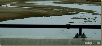
Stopped in Parker and got gas and we headed north on Hwy 95 to Needles, California.  Crossed the Colorado River just west of Parker.  You can see that the river is low. image

Needles lies in a valley with Interstate 40 going through it.  The day is overcast and gray, so the photos look dull.  Here we are dropping into Needles on Hwy 95.image

On the outskirts of town, we hit I-40 going west.  All was going fine so far.imageimage

I saw a sign saying Mojave National Preserve at exit 86, old Route 66.  Made the exit and here is where I went wrong.  First I stopped at the gas station at this exit.  Gas was $5.00 a gallon.  Ouch!  I bought 5 gallons just to make sure I had no gas shortage problems.  Then I headed up old Route 66 looking for the Preserve.image 

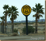
I ended up taking this road for 16 miles up to where it connected to Hwy 95 again.  Never did see a sign for the Preserve and the road had no where to turn around.  image  Here I am going north through the desert on old Route 66 racing a train.  So when I got to 95, I Google mapped the Preserve and found that I should not have exited at 86 but at Essex Road at exit 100. 

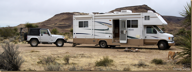
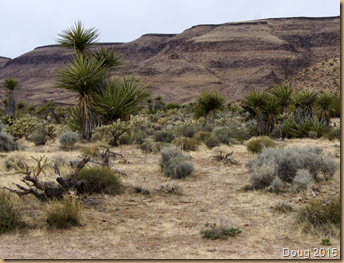
So drove all the way back to I-40 and went another 10 miles west and exited on Essex Road.  Went north on this road for about 10 miles and nothing out there.  image  The mountains are beautifu and rugged.  It feels very remote out here.  No one around to help if you need it.  Took a road east that said campground 10 miles.  As I headed up that road, I finally found a dirt side road.  Walked up the road to see if there was a fire ring up there and sure enough there was one.imagePulled in and I’m home for the night at least.imageimage

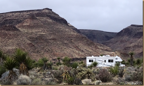
Texted Dolly to let her know I made it.  Good thing I left early,  It is 3:00 pm but because of the clouds, it looks like dusk is coming soon.  Got everything setup for the night and took Yuma for a walk further up the jeep road I am camping next to.  Very remote and beautiful here.imageimageimage

I set up my trucker’s antenna and hooked it to my Wilson booster and got three bars of 1X.  I do get the Internet, but it is sloooww. 

See you later. 
Wednesday, January 28, 2015

Bouse Cemetery

Wednesday, January 28, 2015

Beautiful sunrise this morning.imageimageHave you ever done this?  The other evening it was raining, so waited till it quit to take Yuma for his walk.  No moon and it was dark, so grabbed the flashlight and we headed out.   Just let Yuma follow the flashlight through the mesquite bushes and up and down washes until he was ready to go home.  I turned around and all I could see was black.  I had forgotten to turn the porch light on!

This is what it looks like in daylight.

It was a little disconcerting, but I knew I would finally find the MH in the light of the flashlight sooner or later if I just back tracked; but it did catch me by surprise.

Today was a little slow.  Didn’t have much ambition even though it was going to be a beautiful day until late afternoon when the clouds roll in.   Made the decision to move on to California tomorrow.  The state of my birth.   My dad was in the Air Force and had just returned from war.  He was stationed in San Bernadino when I was born, but never really lived there very long. 

Decided to wander around in the jeep today, take some more photos and find that old Bouse cemetery.  Bet you didn’t know you could spend two days exploring the small community of Bouse, but I did.

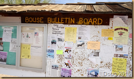
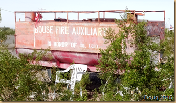
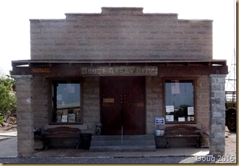
Did you know that Bouse has an International Airport.  Yep, and I have pictures to prove it.image And their own newspaper.imageAnd their own mountain with their initial.imageAnd their very own fire auxiliary.imageAnd their own Assay Office.image

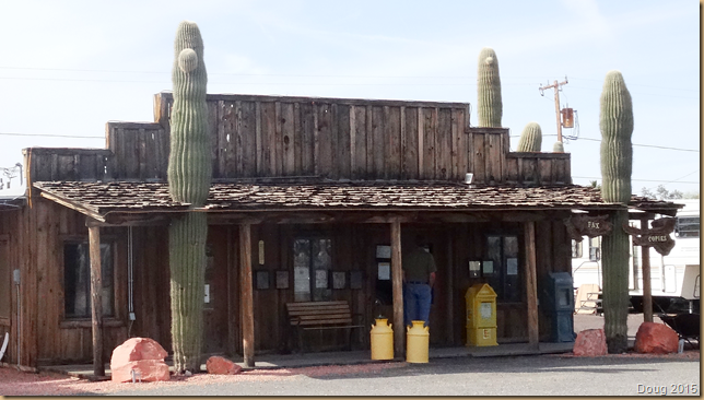
Can’t remember what this building on highway 72 was but sure looked neat.imageFinally found the cemetery by asking one of the locals.  It isn’t really marked.  Looked to me to be in someone’s yard and you would not find it without asking someone.image  Based on some of the dates, it is still being used.  Most of the graves had lost their identity.  Some had wood markers, others did have stone and then many had nothing.

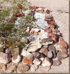
The bulk of them were covered with pretty rocks to mark the grave site.

image

Poor ole Elmer was killed in 1931.  Wonder if anyone was arrested.

imageimageimageimageimageimage
image

If Thomas House is buried here, his marker must be long gone.  Maybe that’s him the fenced in plot.  Kind of a mess in there.

See you later.